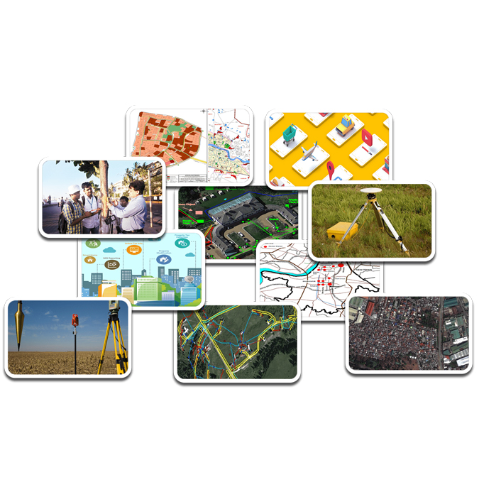


Founded in 2008, SAAR has established itself as a trailblazer in the GIS and IT industries, delivering innovative solutions that empower businesses and organizations to make smarter, data-driven decisions. SAAR specialize in cutting-edge geospatial technologies, including GIS dashboards, LiDAR and drone surveys, satellite imagery processing, and AI-driven analytics.
Years Experience in IT Services
- Business Growth
- Analysis & Research
- 100% Secure

Our expertise lies in integrating advanced tools like Artificial Intelligence (AI), Machine Learning (ML), and geospatial intelligence to provide actionable insights. Whether it's transforming raw data into meaningful dashboards, enabling sustainable urban planning, or advancing cultural heritage preservation, we are committed to excellence, precision, and innovation in every project.
With a steadfast commitment to pushing the boundaries of geospatial technology, SAAR is not just a service provider but a trusted partner in shaping a sustainable and data-driven future. Together, we transform challenges into opportunities and data into actionable insights.
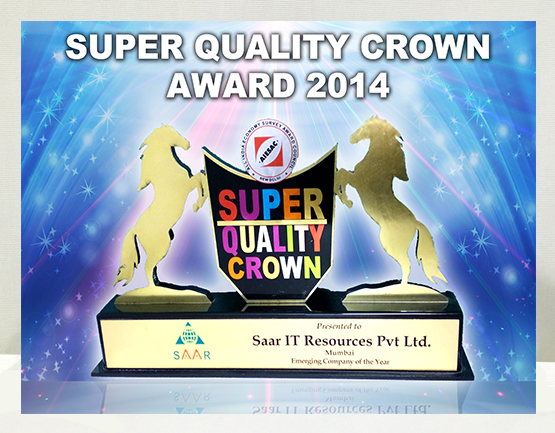
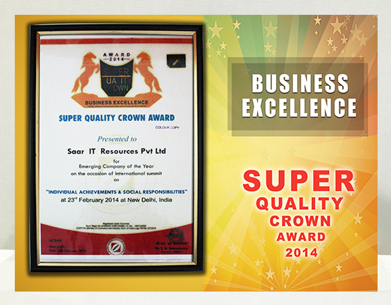
Our Achievements
Pioneered GIS-based tree census and management solutions in India.
Delivered impactful projects in sectors such as infrastructure, water management, disaster response, and heritage preservation.
Trusted by governments, municipalities, and global organizations for delivering scalable and reliable solutions.
Why Choose SAAR?
-
Proven Expertise
Over 15 years of experience in delivering complex geospatial and IT projects.
-
Innovative Solutions
Cutting-edge technology, from LiDAR surveys to AI-powered data processing.
-
Sustainability Focus
Solutions that drive environmental responsibility and smart urban planning.
-
End-to-End Service
Comprehensive offerings, from data collection and analysis to dashboard integration and decision support.


- Pioneered GIS-based tree census and management solutions in India.
- Delivered impactful projects in sectors such as infrastructure, water management, disaster response, and heritage preservation.
- Trusted by governments, municipalities, and global organizations for delivering scalable and reliable solutions.
With a steadfast commitment to pushing the boundaries of geospatial technology, SAAR is not just a service provider but a trusted partner in shaping a sustainable and data-driven future. Together, we transform challenges into opportunities and data into actionable insights.
Proven Expertise
Over 15 years of experience in delivering complex geospatial and IT projects.
Innovative Solutions
Cutting-edge technology, from LiDAR surveys to AI-powered data processing
Sustainability Focus
Solutions that drive environmental responsibility and smart urban planning.
End-to-End Service
: Comprehensive offerings, from data collection and analysis to dashboard integration and decision support.

Geospatial
Tree Census Mapping
Property Tax Assessment
Hawkers Mapping
Temples Mapping
Land Drone Survey