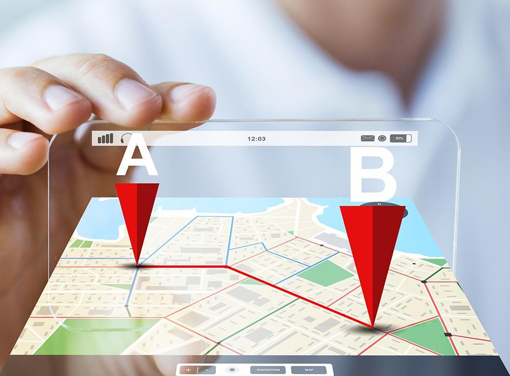
GPS
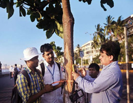
GPS, which stands for Global Positioning System, is a radio navigation system that allows land, sea, and airborne users to determine their exact location, velocity, and time 24 hours a day, in all weather conditions, anywhere in the world. GPS is used to map forests, help farmers harvest their fields, and navigate airplanes on the ground or in the air and there are many other uses, list is endless. Benefits of GPS:
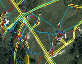
1. GPS provides surveying and mapping data of the highest accuracy
2. Faster delivery of geographic information needed by decision makers.
3. Centimetre-level surveying results in real-time.M
4. Reduce maintenance costs.
SAAR Geospatial headquarter in Mumbai, is one of the largest GPS facilities of its kind, with a highly skilled and dedicated team of technical professionals, equipped with state-of-the-art workstations , software and base-station. Our team believes in innovation in delivery by using industry best practices and stringent quality checks. We ensure our clients get value to their investments. In a world of rapidly expanding range of geospatial services SAAR Geospatial have the right products and expert knowledge to help achieve outstanding results. We specialize in GPS technologies as listed below: