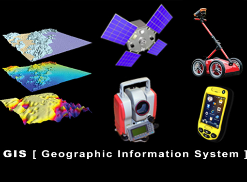
GIS
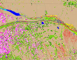
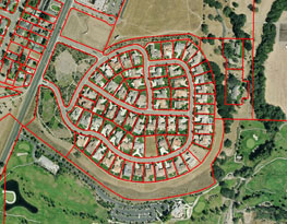
GIS is a system that collects, displays, manages and analyzes geographic information. Geographic Information Systems is a computer-based tool that analyzes, stores, manipulates and visualizes geographic information, usually in a map. The primordial functions of GIS are:
1. Create geographic data
2. Manage it.
3. Analyze it and…
4. Display it on a map.
SAAR Geospatial headquarter in Mumbai, is one of the largest GIS facilities of its kind, with a highly skilled and dedicated team of technical professionals, equipped with state-of-the-art GIS workstations , software and base-station. Our team believes in innovation in delivery by using industry best practices and stringent quality checks. We ensure our clients get value to their investments. In a world of rapidly expanding range of geospatial services SAAR Geospatial have the right products and expert knowledge to help achieve outstanding results. We specialize in GIS technologies as listed below: